U.S. Commercial Earth Observation CEO Market Size, Share & Forecast 2026–2032
Report Highlights
- ✓Country: United States
- ✓Market: Commercial Earth Observation
- ✓Market Size 2024: USD 4.8 billion
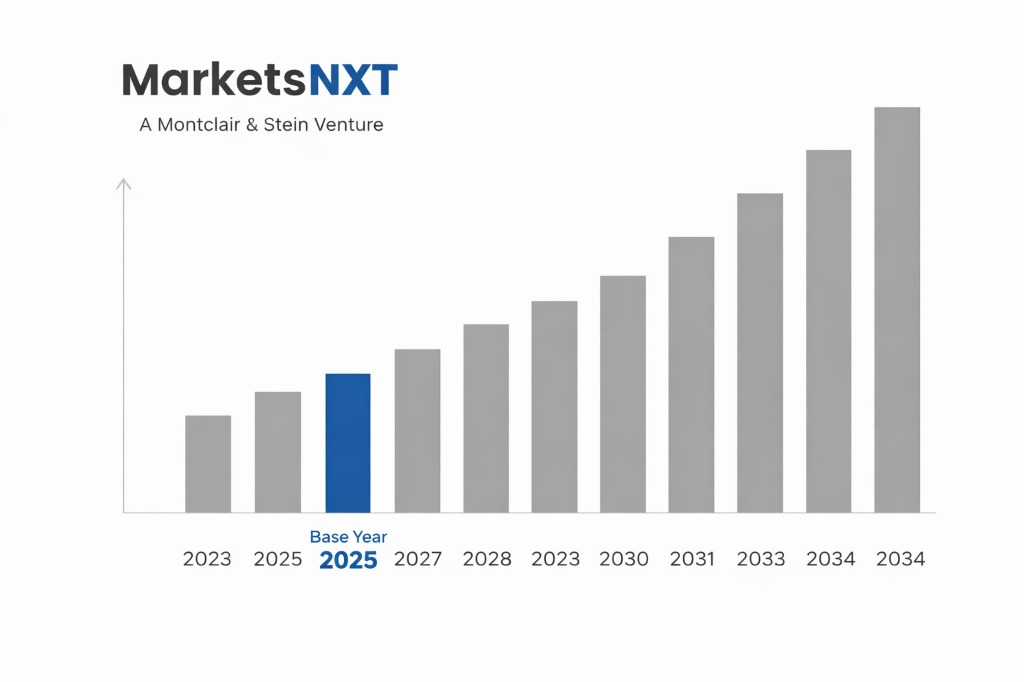
- ✓Market Size 2032: USD 11.7 billion
- ✓CAGR: 11.8%
- ✓Base Year: 2025
- ✓Forecast Period: 2026–2032
Analyst Recommendation — Pursue Insurance Pilot Programmes: Entrants should sign pilot agreements with two property insurers in Florida and California before the 2026 hurricane season. Pilots using damage-assessment imagery lock in multi-year data licences before larger platforms consolidate those accounts.
Commercial Earth Observation in the U.S.: Market Overview
The U.S. commercial earth observation market is the world's largest national market for privately operated satellite imagery and analytics, and it departs sharply from global norms. Federal demand from the National Reconnaissance Office and the National Geospatial-Intelligence Agency anchors revenue, so a handful of multi-year government contracts absorb a large share of operator income. Commercial buyers in insurance, agriculture and energy supplement this base but cannot yet match its stability, which makes the market more concentrated at the top than most international peers.
Structurally, the U.S. stands apart through vertical integration and regulation. Operators such as Planet Labs and BlackSky sell direct to agencies and enterprises rather than through the distributor layer common in European markets. Licensing runs through NOAA's Commercial Remote Sensing Regulatory Affairs office under 15 CFR Part 960, while spectrum and orbital filings pass through the FCC, giving the domestic market a compliance architecture that foreign entrants must master before pursuing any contract.
Growth Drivers in U.S. Earth Observation
The National Reconnaissance Office's Electro-Optical Commercial Layer programme awarded multi-year imagery contracts to Maxar Intelligence, Planet Labs and BlackSky, creating a guaranteed purchasing floor for commercial capacity. The National Geospatial-Intelligence Agency's Luno programme extends this model to analytics, funding commercial computer-vision and AI tools through fixed-price task orders. Together these awards convert commercial satellites into government infrastructure, rewarding operators that can deliver reliable revisit schedules across contract horizons measured in years rather than months.
Defence policy provides the second driver. The Space Force's Commercial Space Strategy, released in 2024, commits the department to buying commercial services for tasking, data and analytics, and NRO commercial imagery funding has run at several hundred million dollars annually. The third driver is climate-linked insurance demand: after the 2023 and 2024 wildfire seasons in California and the hurricane losses across Florida, property insurers began using satellite damage assessment to speed claims and reduce field inspection costs.
Market Restraints and Entry Barriers
Export controls are the sharpest barrier. Imagery above specified resolutions is licensed by NOAA with conditions that include shutter control, allowing the government to restrict collection or delivery over designated areas during crises. Certain sensor and payload technologies fall under ITAR, so foreign investors face restrictions on ownership, board representation and technology transfer, with Committee on Foreign Investment in the United States review applying to any acquisition of a domestic operator.
Incumbency is the second barrier. Maxar and Planet hold the deepest archives and the largest federal task orders, and the NRO's multi-vendor anchor model concentrates follow-on awards among a few proven providers. Pricing compounds the difficulty: government buyers operate under fixed-price contracts that compress margins, leaving analytics start-ups seeking federal scale to fund long capital cycles while carrying heavy costs for facility security clearances and compliance staff.
Market Opportunities in U.S. Earth Observation
Insurance and finance offer the nearest entry point. Property and casualty carriers in Florida, California and Texas face catastrophe loss-adjustment costs that run into billions of dollars each year, and satellite damage assessment can replace a share of field inspections. An analyst estimate places addressable U.S. spend on imagery-based claims and underwriting analytics at USD 400 million by 2028, with pricing set per parcel rather than per image.
Agriculture provides a second lane. Corn and soybean growers across the Midwest already use NDVI-based crop monitoring, and the USDA's Foreign Agricultural Service draws on commercial imagery for crop assessments. Roughly 175 million acres of corn and soybeans form the addressable base for per-acre subscription analytics, and a product priced per acre per season would generate recurring commercial revenue that federal contracts cannot provide.
Market at a Glance
| Metric | Value |
|---|---|
| Market Size 2024 | USD 4.8 billion |
| Market Size 2032 | USD 11.7 billion |
| Growth Rate (CAGR) | 11.8% |
| Most Critical Decision Factor | Securing federal anchor contracts and export licence conditions |
| Largest Region | Washington, D.C. metro and Northern Virginia corridor |
| Competitive Structure | Concentrated federal anchors with fragmented analytics niche |
Leading Market Participants
- Planet Labs PBC
- Maxar Intelligence
- BlackSky Technology
- Umbra Space
- Spire Global
- HawkEye 360
- Capella Space
- Albedo
- ICEYE US
- Ursa Space Systems
Regulatory and Policy Environment
The Land Remote Sensing Policy Act of 1992, codified at 51 U.S.C. Chapter 601, sets the licensing framework administered by NOAA's Commercial Remote Sensing Regulatory Affairs office under 15 CFR Part 960. Licences carry tiered conditions, and the 2020 rule update tightened technical categories, so applicants should budget several months for review. Orbital and spectrum authorizations require FCC Part 25 filings, and launches need FAA licensing under 14 CFR Part 450.
Federal funding flows through NASA's Commercial Smallsat Data Acquisition programme, NRO commercial imagery contracts and NGA Luno awards. Export compliance is administered by the Commerce Department's Bureau of Industry and Security under the Export Administration Regulations, while ITAR governs defence-sensitive technology. Foreign-owned operators also face CFIUS review under Section 721 of the Defense Production Act of 1950 before any change of control is approved.
Long-Term Outlook for U.S. Earth Observation
By 2032, the U.S. market will reach roughly USD 11.7 billion, with analytics and recurring data subscriptions growing faster than raw imagery sales. Government anchor contracts will remain the revenue floor, while insurance, agriculture and energy broaden the commercial base. Consolidation will continue, with mid-tier analytics firms absorbed by larger platforms seeking proprietary archives and established federal relationships.
Resolution gains from small satellite constellations will lower unit costs, and revisit frequency will become the decisive competitive metric. Operators that secure multi-year government awards and build insurance analytics franchises will hold the strongest positions. Export licence reform remains the principal unresolved variable shaping foreign participation in the domestic market.
Frequently Asked Questions
Market Segmentation
- Raw Imagery Data
- Analytics and Software
- Data Subscriptions
- Tasking Services
- Ground Segment Services
- Defense and Intelligence
- Civil Government
- Insurance and Finance
- Agriculture
- Energy and Utilities
- Large Optical Satellites
- Small Satellite Constellations
- SAR Radar Constellations
- Hosted Payloads
Table of Contents
Research Framework and Methodological Approach
Information
Procurement
Information
Analysis
Market Formulation
& Validation
Overview of Our Research Process
MarketsNXT follows a structured, multi-stage research framework designed to ensure accuracy, reliability, and strategic relevance of every published study. Our methodology integrates globally accepted research standards with industry best practices in data collection, modeling, verification, and insight generation.
1. Data Acquisition Strategy
Robust data collection is the foundation of our analytical process. MarketsNXT employs a layered sourcing model.
- Company annual reports & SEC filings
- Industry association publications
- Technical journals & white papers
- Government databases (World Bank, OECD)
- Paid commercial databases
- KOL Interviews (CEOs, Marketing Heads)
- Surveys with industry participants
- Distributor & supplier discussions
- End-user feedback loops
- Questionnaires for gap analysis
Analytical Modeling and Insight Development
After collection, datasets are processed and interpreted using multiple analytical techniques to identify baseline market values, demand patterns, growth drivers, constraints, and opportunity clusters.
2. Market Estimation Techniques
MarketsNXT applies multiple estimation pathways to strengthen forecast accuracy.
Bottom-up Approach
Aggregating granular demand data from country level to derive global figures.
Top-down Approach
Breaking down the parent industry market to identify the target serviceable market.
Supply Chain Anchored Forecasting
MarketsNXT integrates value chain intelligence into its forecasting structure to ensure commercial realism and operational alignment.
Supply-Side Evaluation
Revenue and capacity estimates are developed through company financial reviews, product portfolio mapping, benchmarking of competitive positioning, and commercialization tracking.
3. Market Engineering & Validation
Market engineering involves the triangulation of data from multiple sources to minimize errors.
Extensive gathering of raw data.
Statistical regression & trend analysis.
Cross-verification with experts.
Publication of market study.
Client-Centric Research Delivery
MarketsNXT positions research delivery as a collaborative engagement rather than a static information transfer. Analysts work with clients to clarify objectives, interpret findings, and connect insights to strategic decisions.