
U.S. Digital Map Market Size, Share & Forecast 2026–2032
Report Highlights
- ✓Country: United States
- ✓Market: Digital Map Market
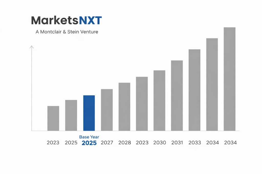
- ✓Market Size 2024: USD 3.42 billion
- ✓Market Size 2032: USD 6.86 billion
- ✓CAGR: 9.1%
- ✓Base Year: 2025
- ✓Forecast Period: 2026–2032
Analyst Recommendation — Audit Data Lineage Now: Procurement teams should audit location data lineage by December 2025 and dual-source imagery through two providers. Chinese-origin sensor hardware now carries Section 301 exposure, and compliance costs outweigh unit price savings.
The United States' Role in the Global Digital Mapping Supply Chain
The United States is the largest producer and exporter of digital map data services, anchored by Google Maps Platform in Mountain View, Esri in Redlands, and Apple Maps in Cupertino. Domestic compilation draws on public geodata from USGS and Census Bureau sources, while cloud compute concentrates in Northern Virginia data centres serving global API traffic. The country is a net exporter of map software and licensed location services, with revenue flowing to Canada, the United Kingdom, Germany, and Japan through enterprise subscriptions.
Import dependency sits in hardware and inputs rather than services. Survey-grade lidar sensors, GNSS receivers, and dashcam units arrive from Taiwan, China, and Japan, while mapping vehicle platforms are assembled largely in Mexico and Canada. Imported semiconductors feed in-vehicle navigation modules, which means the U.S. map value chain is services-heavy but hardware-exposed, a vulnerability that tariff escalation exposes directly.
Growth Drivers for U.S. Digital Map Trade and Production
Autonomous driving programmes are the primary production driver. High-definition map generation for Level 3 and Level 4 systems is concentrated in Michigan around Detroit automakers and in California robotaxi operations, where fleet-collected data feeds continuous map updates. Demand for centimetre-accurate lane geometry is pushing producers toward in-house compilation, lifting domestic data-labelling employment and cloud storage volumes.
Federal broadband mapping is the second driver. The FCC Broadband Data Collection and the Broadband Equity, Access, and Deployment program require standardised location fabric from providers, creating a recurring government procurement stream for address-level digital maps. Third, CHIPS Act incentives are drawing lidar and GNSS component assembly toward U.S. sites, reducing reliance on Asian import channels and shortening lead times for sensor-equipped mapping vehicles.
Supply Chain Risks and Trade Barriers
Hardware import exposure is the most immediate risk. Section 301 duties on Chinese semiconductors, scheduled to rise to 50 percent in 2025, raise the landed cost of GNSS modules and camera sensors used in survey vehicles. Lidar units built with Chinese-made components face the same tariff stack, compressing margins for mid-tier providers and regional aerial survey firms.
Data-flow restrictions and logistics gaps compound the risk. The DOJ bulk sensitive data rule, effective April 2025, bars transfers of precise geolocation data to China and other countries of concern, constraining offshore annotation. Rural broadband build-outs also lag on fibre backhaul, slowing sensor uploads from remote survey corridors in Montana and Wyoming.
Trade and Investment Opportunities in the United States
Import substitution in sensor hardware offers the clearest entry point. Domestic assembly of GNSS receivers and lidar modules, supported by CHIPS Act tax credits for advanced manufacturing, would let providers exit Section 301 exposure. Investors should target Arizona and Texas semiconductor clusters, where logistics costs to Dallas and Phoenix data hubs are lowest.
Export expansion into Canada and Mexico under USMCA represents a near-term revenue channel for licensed map APIs. Cross-border data transfer protections in Article 19.11 support unrestricted service delivery across the region. Inbound FDI into the Virginia and Oregon data centre corridors also expands cloud rendering capacity for European and Asian map consumers, while Memphis and Louisville distribution hubs support rapid hardware staging.
Market at a Glance
| Metric | Value |
|---|---|
| Market Size 2024 | USD 3.42 billion |
| Market Size 2032 | USD 6.86 billion |
| Growth Rate (CAGR) | 9.1% |
| Most Critical Decision Factor | Sensor hardware tariff exposure and data-transfer compliance |
| Largest Region | West Coast (California and Washington) |
| Competitive Structure | Concentrated at the top, fragmented among regional providers |
Leading Market Participants
- Esri
- Google Maps Platform
- HERE Technologies
- TomTom
- Apple Maps
- Microsoft Azure Maps
- Mapbox
- Trimble
- Precisely
- Nearmap
Regulatory and Trade Policy Environment
Tariff treatment is governed by the Harmonized Tariff Schedule, with Chinese-origin semiconductors and electronic modules subject to Section 301 duties and additional 2025 reciprocal tariffs. USMCA duty-free treatment applies to qualifying Canadian and Mexican goods. Map software delivered electronically remains outside customs duty under the WTO e-commerce moratorium, which the U.S. has supported.
Data governance sits with the Federal Trade Commission, the DOJ National Security Division, and the Commerce Department's Bureau of Industry and Security. The Protecting Americans' Data from Foreign Adversaries Act of 2024 bars data brokers from transferring sensitive location data to designated countries. CFIUS reviews foreign acquisitions of mapping firms holding defence-relevant geospatial datasets, while state privacy laws such as California's CCPA add consumer consent requirements to location collection.
U.S. Digital Map Supply Chain Outlook to 2032
Through 2032, the supply chain will shift from satellite and aerial acquisition toward real-time sensor fusion. Fleet telemetry from connected vehicles, supplied by automakers in Detroit and Austin, will supplement imagery inputs and reduce dependence on commercial refresh cycles. Edge compute installed in vehicles will move processing away from centralised data centres, altering cloud demand patterns in Northern Virginia.
Comparative advantage will migrate toward firms controlling proprietary, provenance-verified data. Chip-level tariffs will push sensor assembly onshore, lengthening lead times for imported hardware while lowering compliance risk. By 2032, U.S. providers will export more licensed data products than hardware, with Canada and Mexico absorbing the largest share of cross-border volumes.
Frequently Asked Questions
Market Segmentation
- Navigation and Routing
- Fleet and Logistics Tracking
- Location-Based Advertising
- Urban Planning and GIS
- Autonomous Vehicle Mapping
- Cloud-Hosted APIs
- On-Premises GIS Software
- Embedded SDK Licensing
- Hybrid Deployments
- Automotive OEMs
- Logistics and Transportation
- Government and Defense
- Retail and Real Estate
- Consumer Applications
Table of Contents
Research Framework and Methodological Approach
Information
Procurement
Information
Analysis
Market Formulation
& Validation
Overview of Our Research Process
MarketsNXT follows a structured, multi-stage research framework designed to ensure accuracy, reliability, and strategic relevance of every published study. Our methodology integrates globally accepted research standards with industry best practices in data collection, modeling, verification, and insight generation.
1. Data Acquisition Strategy
Robust data collection is the foundation of our analytical process. MarketsNXT employs a layered sourcing model.
- Company annual reports & SEC filings
- Industry association publications
- Technical journals & white papers
- Government databases (World Bank, OECD)
- Paid commercial databases
- KOL Interviews (CEOs, Marketing Heads)
- Surveys with industry participants
- Distributor & supplier discussions
- End-user feedback loops
- Questionnaires for gap analysis
Analytical Modeling and Insight Development
After collection, datasets are processed and interpreted using multiple analytical techniques to identify baseline market values, demand patterns, growth drivers, constraints, and opportunity clusters.
2. Market Estimation Techniques
MarketsNXT applies multiple estimation pathways to strengthen forecast accuracy.
Bottom-up Approach
Aggregating granular demand data from country level to derive global figures.
Top-down Approach
Breaking down the parent industry market to identify the target serviceable market.
Supply Chain Anchored Forecasting
MarketsNXT integrates value chain intelligence into its forecasting structure to ensure commercial realism and operational alignment.
Supply-Side Evaluation
Revenue and capacity estimates are developed through company financial reviews, product portfolio mapping, benchmarking of competitive positioning, and commercialization tracking.
3. Market Engineering & Validation
Market engineering involves the triangulation of data from multiple sources to minimize errors.
Extensive gathering of raw data.
Statistical regression & trend analysis.
Cross-verification with experts.
Publication of market study.
Client-Centric Research Delivery
MarketsNXT positions research delivery as a collaborative engagement rather than a static information transfer. Analysts work with clients to clarify objectives, interpret findings, and connect insights to strategic decisions.