U.S. Drone Analytics Market Size, Share & Forecast 2026–2032
Report Highlights
- ✓Country: United States
- ✓Market: Drone Analytics
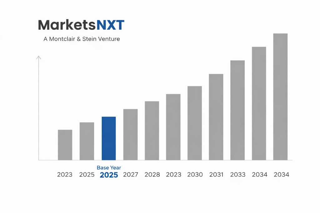
- ✓Market Size 2024: USD 2.8 billion
- ✓Market Size 2032: USD 7.3 billion
- ✓CAGR: 12.7%
- ✓Base Year: 2025
- ✓Forecast Period: 2026-2032
Analyst Recommendation — Launch Utility Pilots Now: Utility asset managers should launch 12-month inspection pilots on Blue UAS-listed platforms by the third quarter of 2026, since award criteria increasingly weight security certification over unit price across federal and state contracts.
U.S. Drone Analytics: Market Overview
The U.S. drone analytics market reached USD 2.8 billion in 2024 and differs from the global norm in one structural way: software and data services carry more of the spend than airframes. American operators purchase processed outputs such as orthomosaics, defect reports and asset condition scores rather than raw imagery, which keeps recurring subscription revenue high. Demand concentrates in infrastructure inspection, precision agriculture and public safety, while Asia Pacific growth remains tied to hardware manufacturing volume.
Market structure is fragmented beyond the top tier. Platform leaders such as DroneDeploy and Esri compete with mapping specialists, computer-vision startups and systems integrators that win utility and state transportation work through task orders. Entry is governed by FAA authorization rather than capital intensity, so a Part 107-certified operator with a compliant data pipeline can scale across several states within eighteen months. Procurement vehicles, including GSA schedules, reward firms that document security posture early.
Growth Drivers in U.S. Drone Analytics
Federal policy is the first driver. Executive Order 14307, Unleashing American Drone Dominance, issued in June 2025, directs agencies to accelerate beyond-visual-line-of-sight operations and expand domestic drone production, widening the operating envelope for analytics vendors. Meanwhile, the Infrastructure Investment and Jobs Act channels federal funds toward bridge and highway programs, and more than 600,000 bridges in the National Bridge Inventory require recurring condition assessment.
Agriculture adds the third driver. The 2022 Census of Agriculture counted roughly 1.9 million U.S. farms, and growers adopting variable-rate spraying increasingly buy multispectral analysis as a subscription rather than a one-time survey. Public safety agencies in states such as Texas and Florida are expanding drone-as-first-responder programs, each requiring incident mapping, thermal search analytics and evidence-grade data retention.
Market Restraints and Entry Barriers
Beyond-visual-line-of-sight operations remain the binding constraint. Routine BVLOS flight still requires FAA waivers under Part 107, and the proposed Part 108 rule published in August 2025 remains unfinalized, so vendors cannot price scaled corridor inspection with confidence. Waiver processing times vary by region, and operators in dense metropolitan airspace near Class B airports face additional authorization steps that slow pilot-to-contract conversion.
Procurement security rules create the sharper barrier. The American Security Drone Act of 2023 bars federal agencies from buying drones and components from covered foreign entities, and Blue UAS listing has become a practical prerequisite for federal and many state contracts. Analytics vendors that process imagery on servers outside U.S. jurisdiction or rely on imported sensor modules face disqualification, while Florida's 2023 restrictions on law-enforcement drone surveillance add governance costs to public safety bids.
Market Opportunities in the United States
Corridor inspection for rail and pipelines offers the nearest large entry point. Class I railroads and midstream operators in the Permian Basin and Gulf Coast maintain thousands of linear miles that still rely on helicopter patrols, and analytics tied to BVLOS waivers could address an estimated USD 540 million of inspection spend by 2027. Vendors delivering automated defect classification with audit-ready reporting will capture this market before Part 108 finalizes.
Precision agriculture subscriptions represent a second opening, with an estimated USD 430 million addressable across row-crop operations in Iowa, Illinois, Nebraska and the Mississippi Delta. Public safety analytics, covering incident mapping and thermal search, adds roughly USD 260 million in state and municipal budgets. Vendors that bundle Remote ID compliance logs into evidence-grade outputs will win those contracts.
Market at a Glance
| Metric | Value |
|---|---|
| Market Size 2024 | USD 2.8 billion |
| Market Size 2032 | USD 7.3 billion |
| Growth Rate (CAGR) | 12.7% |
| Most Critical Decision Factor | Blue UAS listing and American Security Drone Act compliance status |
| Largest Region | South Region, led by Texas and Florida |
| Competitive Structure | Fragmented, with the top ten vendors holding under 35 percent share |
Leading Market Participants
- DroneDeploy
- Skydio
- Esri
- Pix4D
- Propeller Aero
- Kespry
- Teledyne FLIR
- Percepto
- Measure
- Red Cat Holdings
Regulatory and Policy Environment
Flight operations sit under 14 CFR Part 107, which governs remote pilot certification and operational limits for commercial small unmanned aircraft. Remote ID under 14 CFR Part 89 became mandatory on September 16, 2023, requiring broadcast identification for most drones operating in U.S. airspace. The FAA Reauthorization Act of 2018 added Section 2209, enabling flight restrictions over critical infrastructure facilities, which directly affects utility and energy inspection flights. The FAA's BVLOS rulemaking proposal, designated Part 108, was published in August 2025, and final rule timing is the central regulatory variable for 2026.
Procurement compliance is governed by Section 848 of the National Defense Authorization Act for Fiscal Year 2020 and the American Security Drone Act of 2023, which phased in federal procurement restrictions. The Defense Innovation Unit's Blue UAS list defines eligible platforms, while CISA issues cybersecurity guidance for critical infrastructure operators. Federal grant programs, including FAA BEYOND program grants and state Department of Transportation drone grants, fund pilot programs across multiple states.
Long-Term Outlook for U.S. Drone Analytics
By 2032 the U.S. drone analytics market is forecast to reach USD 7.3 billion, growing at a 12.7% CAGR from the 2025 base year. Routine BVLOS operations, once Part 108 is finalized, will convert corridor inspection from pilot projects into standing utility and rail contracts. Analytics will shift from report delivery toward autonomous defect detection and digital twin integration, with vendors earning recurring platform fees.
Consolidation defines the 2032 structure. Airframe makers with Blue UAS listings will bundle analytics, and independent vendors will either specialize in regulated verticals such as utilities or be acquired by mapping and GIS platforms. Buyers entering now will face fewer, larger suppliers and stronger security certification requirements, with pricing stabilizing as software margins reflect proven operational outcomes.
Frequently Asked Questions
Market Segmentation
- Infrastructure Inspection
- Precision Agriculture
- Public Safety
- Construction and Mapping
- Energy and Utilities
- Photogrammetry and 3D Mapping
- Thermal and Multispectral Analysis
- AI Computer Vision
- LiDAR Processing
- Federal Government
- State and Local Agencies
- Utilities
- Agribusiness
Table of Contents
Research Framework and Methodological Approach
Information
Procurement
Information
Analysis
Market Formulation
& Validation
Overview of Our Research Process
MarketsNXT follows a structured, multi-stage research framework designed to ensure accuracy, reliability, and strategic relevance of every published study. Our methodology integrates globally accepted research standards with industry best practices in data collection, modeling, verification, and insight generation.
1. Data Acquisition Strategy
Robust data collection is the foundation of our analytical process. MarketsNXT employs a layered sourcing model.
- Company annual reports & SEC filings
- Industry association publications
- Technical journals & white papers
- Government databases (World Bank, OECD)
- Paid commercial databases
- KOL Interviews (CEOs, Marketing Heads)
- Surveys with industry participants
- Distributor & supplier discussions
- End-user feedback loops
- Questionnaires for gap analysis
Analytical Modeling and Insight Development
After collection, datasets are processed and interpreted using multiple analytical techniques to identify baseline market values, demand patterns, growth drivers, constraints, and opportunity clusters.
2. Market Estimation Techniques
MarketsNXT applies multiple estimation pathways to strengthen forecast accuracy.
Bottom-up Approach
Aggregating granular demand data from country level to derive global figures.
Top-down Approach
Breaking down the parent industry market to identify the target serviceable market.
Supply Chain Anchored Forecasting
MarketsNXT integrates value chain intelligence into its forecasting structure to ensure commercial realism and operational alignment.
Supply-Side Evaluation
Revenue and capacity estimates are developed through company financial reviews, product portfolio mapping, benchmarking of competitive positioning, and commercialization tracking.
3. Market Engineering & Validation
Market engineering involves the triangulation of data from multiple sources to minimize errors.
Extensive gathering of raw data.
Statistical regression & trend analysis.
Cross-verification with experts.
Publication of market study.
Client-Centric Research Delivery
MarketsNXT positions research delivery as a collaborative engagement rather than a static information transfer. Analysts work with clients to clarify objectives, interpret findings, and connect insights to strategic decisions.