
U.S. Geospatial Market Size, Share & Forecast 2026–2032
Report Highlights
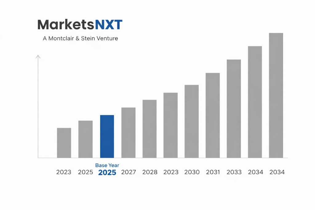
- ✓Market Size 2024: USD 48.3 billion
- ✓Market Size 2032: USD 92.8 billion
- ✓CAGR: 8.5%
- ✓Market Definition: The U.S. geospatial market covers software, satellite and aerial imagery, lidar, positioning hardware, and services that capture, analyze, and visualize location-based data. Revenue spans federal, defense, utility, transportation, insurance, and commercial buyers.
- ✓Leading Companies: Esri, Trimble, Hexagon, Maxar Technologies, Planet Labs
- ✓Base Year: 2025
- ✓Forecast Period: 2026–2032
Analyst Recommendation — Consolidate Licenses Before Fiscal 2026: Enterprise buyers should consolidate geospatial licenses onto one platform through GSA Schedule contracts before fiscal 2026 renewals. Consolidated volume pricing lowers per-seat costs and gives procurement leverage against incumbent renewal uplifts.
Competitive Overview: Geospatial in the U.S.
The U.S. geospatial market is concentrated at the top and fragmented below. Esri, Trimble, and Hexagon dominate GIS software and positioning hardware, while Maxar Technologies, Planet Labs, and L3Harris control high-resolution imagery and sensor supply. Thousands of regional surveying and engineering firms compete for the remaining service spend. Domestic companies capture most revenue, and international groups such as Fugro hold secondary positions. Competitive advantage here rests on federal security clearances, FedRAMP authorization, and proprietary data pipelines rather than price alone.
Competitive advantage in the United States depends on access rather than technology alone. Vendors with FedRAMP authorization, facility security clearances, and Buy American compliance win federal work that accounts for the largest single demand pool. Commercial buyers in utilities, insurance, and transportation reward firms that embed analytics in existing enterprise platforms such as Esri's ArcGIS suite. Platform lock-in means incumbents retain customers through renewals, so new entrants must target specific workflows to gain share.
Demand Drivers Shaping U.S. Geospatial
Federal modernization and defense spending form the first driver. The Department of Defense and the National Geospatial-Intelligence Agency expand commercial imagery and analytics buys, favoring Maxar Technologies, Planet Labs, and analytics integrators such as Palantir. Federal programs such as the 3D Elevation Program and Infrastructure Investment and Jobs Act lidar allocations direct work to Woolpert, NV5, and Fugro. Second, the autonomous vehicle and drone sector drives demand for high-definition mapping, where Trimble and Hexagon supply sensors and positioning software.
Third, enterprise digitization of utilities, insurance, and agriculture expands commercial spend. Utilities use drone-based vegetation management and asset mapping, benefiting NV5 and Woolpert. Insurers adopt parcel-level risk modeling after wildfire and flood losses, rewarding data vendors with national property datasets, which favors Esri and Google Earth Engine partners. Vendors that bundle data subscriptions with cloud hosting capture the fastest-growing revenue pools. Winners sell outcomes, not raw layers, in these verticals.
Competitive Restraints and Market Challenges
Price competition is intensifying as open-source and free public datasets erode commercial licensing. Federal data releases from USGS 3DEP and Landsat, along with Sentinel imagery distributed by the European Union, reduce willingness to pay for basic layers. Vendors such as Esri and Google respond with freemium tiers that compress margins for smaller GIS software firms. Price pressure also hits surveying contractors, where federal task orders are awarded on lowest-price technically acceptable terms.
Regulatory compliance and talent scarcity raise the cost of competing. FAA Part 107 and Remote ID rules govern drone mapping operations, while FCC spectrum decisions affect GNSS receiver design. Compliance with ITAR restricts foreign-national engineers on sensitive imaging programs, narrowing the talent pool. Demand for certified geospatial professionals outstrips supply, and wage inflation for remote sensing roles across Texas and Virginia compresses bid margins. Smaller entrants absorb these costs more painfully than incumbents.
Growth Opportunities for Market Players
Defense and intelligence analytics offer the largest near-term opportunity. NGA Luno contracts and Space Force commercial imagery programs create on-ramps for venture-backed firms offering AI-driven feature extraction. Maxar and Planet are pursuing multi-year subscriptions with the Department of Defense, while smaller players target subcontracting roles within Palantir and Booz Allen integration programs. Players that secure accreditation for classified environments gain pricing power and multi-year revenue visibility.
Commercial verticals present a second opportunity, particularly digital twins for infrastructure and climate risk. Utilities and state transportation agencies, supported by IIJA funding, need continuous lidar and asset inventories, creating recurring revenue for NV5 and Woolpert. Insurers and mortgage lenders seek parcel-level flood and wildfire data, where Esri and Trimble partners bundle subscriptions with cloud hosting. Vendors who package outcomes such as bridge condition scoring will outperform those selling raw data files.
Market at a Glance
| Metric | Value |
|---|---|
| Market Size 2024 | USD 48.3 billion |
| Market Size 2032 | USD 92.8 billion |
| Growth Rate (CAGR) | 8.5% |
| Most Critical Decision Factor | Data accuracy and interoperability with federal and enterprise systems |
| Largest Region | National Capital Region (Virginia, Maryland, D.C.) |
| Competitive Structure | Oligopolistic at the top with a fragmented service tail |
Leading Market Participants
- Esri
- Trimble
- Hexagon
- Maxar Technologies
- Planet Labs
- Google Earth
- L3Harris Technologies
- NV5 Geospatial
- Woolpert
- Fugro
Regulatory and Policy Environment
Federal rules shape competitive entry more than market demand does. FedRAMP authorization, administered by the General Services Administration, gates cloud geospatial services, and Federal Acquisition Regulation small business set-asides favor mid-tier survey firms. The Federal Geographic Data Committee establishes data standards, while the U.S. Geological Survey operates 3DEP, shaping which lidar datasets are publicly available. Buy American requirements under the Trade Agreements Act limit foreign imagery suppliers on civil contracts.
Export controls and national security rules govern competitive access to high-resolution imagery. The Commerce Department's Bureau of Industry and Security regulates satellite imaging exports under the Export Administration Regulations, while NOAA's Commercial Remote Sensing Regulatory Affairs office licenses U.S. commercial satellite operators. Licensing conditions on resolution limits affect Maxar and Planet's product catalogs internationally. The FAA's Part 107 regime and IIJA mapping provisions also determine which drone and survey operators can bid.
Competitive Outlook for U.S. Geospatial to 2032
By 2032, consolidation will reshape the top tier. Platform vendors will absorb analytics startups, and private equity owners of mid-sized surveying firms will roll up regional players to achieve national federal eligibility. Hexagon and Trimble will extend subscription revenue, while Planet Labs will shift toward analytics-led contracts to offset falling per-image prices. The top five vendors will hold a larger share of software spend than they do today.
Market structure will split between federal integrators and commercial specialists. Firms with classified accreditation, cloud partnerships, and AI feature extraction will command premium multi-year contracts, while generalist service providers face margin pressure. Competitive success will depend on owning the data pipeline from sensor to decision, with lidar, imagery, and digital twin outputs sold as subscriptions rather than projects. Companies that delay platform investment past 2028 risk losing incumbency.
Frequently Asked Questions
Market Segmentation
- Software and Platforms
- Imagery and Satellite Data
- Lidar and Survey Hardware
- Geospatial Services
- Cloud-Based
- On-Premise
- Hybrid
- Edge Processing
- Federal and Defense
- Utilities
- Transportation
- Insurance
Table of Contents
Research Framework and Methodological Approach
Information
Procurement
Information
Analysis
Market Formulation
& Validation
Overview of Our Research Process
MarketsNXT follows a structured, multi-stage research framework designed to ensure accuracy, reliability, and strategic relevance of every published study. Our methodology integrates globally accepted research standards with industry best practices in data collection, modeling, verification, and insight generation.
1. Data Acquisition Strategy
Robust data collection is the foundation of our analytical process. MarketsNXT employs a layered sourcing model.
- Company annual reports & SEC filings
- Industry association publications
- Technical journals & white papers
- Government databases (World Bank, OECD)
- Paid commercial databases
- KOL Interviews (CEOs, Marketing Heads)
- Surveys with industry participants
- Distributor & supplier discussions
- End-user feedback loops
- Questionnaires for gap analysis
Analytical Modeling and Insight Development
After collection, datasets are processed and interpreted using multiple analytical techniques to identify baseline market values, demand patterns, growth drivers, constraints, and opportunity clusters.
2. Market Estimation Techniques
MarketsNXT applies multiple estimation pathways to strengthen forecast accuracy.
Bottom-up Approach
Aggregating granular demand data from country level to derive global figures.
Top-down Approach
Breaking down the parent industry market to identify the target serviceable market.
Supply Chain Anchored Forecasting
MarketsNXT integrates value chain intelligence into its forecasting structure to ensure commercial realism and operational alignment.
Supply-Side Evaluation
Revenue and capacity estimates are developed through company financial reviews, product portfolio mapping, benchmarking of competitive positioning, and commercialization tracking.
3. Market Engineering & Validation
Market engineering involves the triangulation of data from multiple sources to minimize errors.
Extensive gathering of raw data.
Statistical regression & trend analysis.
Cross-verification with experts.
Publication of market study.
Client-Centric Research Delivery
MarketsNXT positions research delivery as a collaborative engagement rather than a static information transfer. Analysts work with clients to clarify objectives, interpret findings, and connect insights to strategic decisions.