U.S. Mobile Mapping Market Size, Share & Forecast 2026–2032
Report Highlights
- ✓Market Size 2024: USD 3.2 Billion
- ✓Market Size 2032: USD 8.7 Billion
- ✓CAGR: 13.4%
- ✓Market Definition: The U.S. mobile mapping market encompasses hardware, software, and services used to acquire geospatial data from moving platforms including vehicles, drones, and backpack systems. Applications span infrastructure inspection, autonomous vehicle development, urban planning, and utilities mapping.
- ✓Leading Companies: Trimble Inc., Leica Geosystems, Topcon Positioning Systems, Velodyne Lidar, HERE Technologies
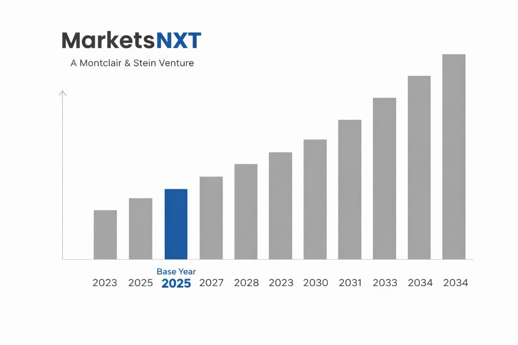
- ✓Base Year: 2025
- ✓Forecast Period: 2026–2032
Analyst Recommendation — Partner Before 2026 Procurement Cycles: Infrastructure owners and state DOTs should lock in multi-year mobile mapping service agreements with certified vendors before Q1 2026, when federal IIJA geospatial deliverable deadlines compress procurement timelines and drive a 20–30% surge in contract pricing.
U.S. Mobile Mapping Market: Market Overview
The U.S. mobile mapping market is the largest single-country segment globally, accounting for an estimated 34% of total worldwide revenue in 2024. This dominance reflects the intersection of advanced autonomous vehicle development corridors—concentrated in California, Michigan, and Texas—with federally mandated infrastructure digitization programs funded through the Infrastructure Investment and Jobs Act. Unlike most global peers, the U.S. market is simultaneously driven by both private-sector AV programs and large-scale public asset management initiatives, creating a dual demand structure that insulates the market from single-sector downturns.
Structurally, the U.S. mobile mapping market is more vertically fragmented than European counterparts. Data acquisition, processing, and delivery are frequently handled by separate specialist firms rather than integrated providers. This fragmentation creates substantial opportunity for platform integrators and software middleware providers. The market currently spans mobile LiDAR, photogrammetric systems, and integrated GNSS-INS platforms deployed across ground vehicles, unmanned aerial systems, and increasingly, wearable backpack units used in GPS-denied environments such as subway tunnels and dense urban canyons.
Growth Drivers in the U.S. Mobile Mapping Market
The Infrastructure Investment and Jobs Act, signed in November 2021, allocated USD 1.2 trillion across transportation and infrastructure, with geospatial asset inventory requirements embedded across bridge inspection, highway condition reporting, and utility corridor management contracts. The Federal Highway Administration's Every Day Counts initiative specifically mandates digital as-built deliverables for federally funded projects, directly stimulating demand for vehicle-mounted mobile mapping systems. State DOTs in Florida, Ohio, and Colorado have already issued framework contracts requiring LiDAR-grade point cloud submissions, establishing replicable procurement templates that other states are adopting through 2026.
Autonomous vehicle development programs represent the second major structural driver. Waymo's operational robotaxi network in Phoenix and San Francisco, GM Cruise's ongoing HD map refresh programs, and Amazon's Zoox urban mapping initiatives collectively sustain continuous mobile mapping service demand exceeding USD 400 million annually. Simultaneously, the utility sector—driven by NERC CIP vegetation management compliance requirements and wildfire liability reduction after California AB 1054—is deploying mobile LiDAR across transmission corridors at an accelerating rate, adding a third, largely underpenetrated demand vertical that is growing faster than the broader market average.
Market Restraints and Entry Barriers
Federal data security requirements present the most acute entry barrier for foreign-headquartered vendors in U.S. mobile mapping. The FAR 52.204-21 basic safeguarding clause and the emerging CMMC 2.0 framework under the Department of Defense both impose cybersecurity certification requirements on geospatial data collected near federal facilities. Chinese-manufactured sensor components—including DJI drone platforms and certain MEMS-based LiDAR units—face effective procurement exclusion under the FY2023 National Defense Authorization Act Section 5949. This hardware restriction forces foreign entrants to redesign sensor stacks for U.S. market qualification, adding 12–18 months to standard product launch timelines.
Incumbent advantage is deeply entrenched among established players. Trimble, Hexagon's Leica division, and Topcon hold master service agreements with 38 of 50 state DOTs, creating relationship-driven renewal cycles that effectively lock out new entrants from the largest public-sector contract pools for multi-year periods. Local content and workforce certification requirements in union-governed states—particularly New York and Illinois—add further operational complexity. Proprietary data formats used by leading platforms, including Trimble's POSPAC and Leica's Cyclone PUBLISHER ecosystem, create switching costs that discourage procurement officers from evaluating alternative vendors even when cost differentials are significant.
Market Opportunities in the U.S. Mobile Mapping Market
The single most actionable near-term opportunity lies in underground and GPS-denied mapping, an addressable segment currently estimated at USD 480 million annually and growing at nearly twice the overall market rate. Municipal water authorities, transit agencies, and the U.S. Army Corps of Engineers are all deploying simultaneous localization and mapping technology in environments where traditional GNSS-based systems fail. GeoSLAM and NavVis currently dominate this niche with backpack-mounted systems, but neither holds dominant federal contractor status, leaving room for systems integrators to capture value through certified solution bundling and long-term managed service contracts.
Digital twin integration represents a second high-value opportunity window closing rapidly. The General Services Administration's 3D Buildings program and smart city initiatives in Houston, Denver, and Las Vegas are issuing procurements that require mobile mapping data to feed into continuous digital twin environments rather than static point cloud deliverables. Vendors who embed their mobile mapping outputs into Esri's ArcGIS platform or Bentley's iTwin ecosystem gain recurring subscription revenue streams that dwarf one-time data capture contracts. Firms positioning their platforms as digital twin data feeders by 2026 will capture disproportionate share of an estimated USD 1.1 billion public-sector digital twin spending wave through 2029.
Market at a Glance
| Metric | Detail |
|---|---|
| Market Size 2024 | USD 3.2 Billion |
| Market Size 2032 | USD 8.7 Billion |
| Growth Rate (CAGR) | 13.4% |
| Most Critical Decision Factor | Federal data security certification and NDAA hardware compliance |
| Largest Region | Western U.S. (California, Texas, Colorado) |
| Competitive Structure | Moderately consolidated with fragmented service layer |
Leading Market Participants
- Trimble Inc.
- Leica Geosystems (Hexagon)
- Topcon Positioning Systems
- Velodyne Lidar (Ouster)
- HERE Technologies
- Teledyne Optech
- NavVis GmbH
- GeoSLAM
- Luminar Technologies
- Woolpert Inc.
Regulatory and Policy Environment
The regulatory landscape governing mobile mapping in the United States is shaped by overlapping federal, state, and sector-specific frameworks. The FAA's Part 107 rules govern UAS-based mobile mapping operations, with waiver requirements for operations beyond visual line of sight that are now processed through the Low Altitude Authorization and Notification Capability system. The FY2023 NDAA Section 5949 prohibits federal procurement of telecommunications and geospatial equipment from five named Chinese entities and their subsidiaries, directly affecting sensor sourcing decisions. The Department of Transportation's MUTCD standards and FHWA's LiDAR data quality specifications, formalized in the 2022 update to the FHWA Geospatial Data Standards, define minimum point cloud density and accuracy thresholds for federally reimbursed deliverables.
At the state level, California's AB 2145 and New York's Digital Infrastructure Mapping Act both impose data residency and public disclosure requirements on geospatial data collected in public rights-of-way, creating compliance obligations for vendors operating multi-state programs. The Department of Defense's CMMC 2.0 framework, with full enforcement expected by late 2025, will require Level 2 certification for any mobile mapping firm handling Controlled Unclassified Information on defense installations. FEMA's Hazard Mitigation Grant Program, which allocated USD 3.9 billion in post-disaster mapping assistance through 2024, is increasingly specifying mobile LiDAR as the required data acquisition methodology, embedding regulatory demand directly into disaster response procurement frameworks.
Long-Term Outlook for U.S. Mobile Mapping
By 2032, the U.S. mobile mapping market will be structurally transformed by the convergence of persistent autonomous sensing networks and federally mandated digital infrastructure twins. Point-in-time survey campaigns will be displaced by continuous mapping fleets—operating as a service—feeding live geospatial intelligence into transportation management systems and utility control centers. Firms that have built scalable cloud processing pipelines and secured FedRAMP authorization will hold insurmountable competitive advantages over traditional hardware-centric survey companies. The market's center of gravity will shift from California's AV corridor to the Gulf Coast and Southeast, where IIJA-funded bridge and highway reconstruction projects drive sustained public-sector demand through the decade.
Competitive consolidation will accelerate significantly between 2026 and 2029 as hardware margin compression forces smaller sensor manufacturers to seek acquisition exits. The software and analytics layer will absorb the majority of value creation, with AI-driven change detection, automated feature extraction, and predictive infrastructure maintenance platforms commanding premium recurring revenue multiples. International entrants—particularly from South Korea and Germany—will attempt market entry through acquisition of mid-tier U.S. service firms rather than organic growth, given the NDAA compliance barriers facing greenfield hardware strategies. By 2032, three to four integrated platform players will control more than 60% of U.S. mobile mapping revenue, with the remaining share distributed across highly specialized niche operators.
Frequently Asked Questions
Market Segmentation
- Vehicle-Mounted Systems
- UAV/Drone-Based Systems
- Backpack and Wearable Systems
- Rail-Mounted Systems
- Marine Vessel Systems
- LiDAR Sensors
- GNSS/INS Navigation Units
- Cameras and Imaging Systems
- Data Processing Software
- Services and Managed Solutions
- Transportation and Highway Mapping
- Autonomous Vehicle HD Mapping
- Utility and Energy Corridor Mapping
- Urban Planning and Smart City
- Defense and Government Facilities
- Underground and Indoor Mapping
- Federal Government Agencies
- State and Local DOTs
- Automotive and AV Companies
- Utility and Energy Companies
- Engineering and Surveying Firms
- Construction and Real Estate
Table of Contents
Research Framework and Methodological Approach
Information
Procurement
Information
Analysis
Market Formulation
& Validation
Overview of Our Research Process
MarketsNXT follows a structured, multi-stage research framework designed to ensure accuracy, reliability, and strategic relevance of every published study. Our methodology integrates globally accepted research standards with industry best practices in data collection, modeling, verification, and insight generation.
1. Data Acquisition Strategy
Robust data collection is the foundation of our analytical process. MarketsNXT employs a layered sourcing model.
- Company annual reports & SEC filings
- Industry association publications
- Technical journals & white papers
- Government databases (World Bank, OECD)
- Paid commercial databases
- KOL Interviews (CEOs, Marketing Heads)
- Surveys with industry participants
- Distributor & supplier discussions
- End-user feedback loops
- Questionnaires for gap analysis
Analytical Modeling and Insight Development
After collection, datasets are processed and interpreted using multiple analytical techniques to identify baseline market values, demand patterns, growth drivers, constraints, and opportunity clusters.
2. Market Estimation Techniques
MarketsNXT applies multiple estimation pathways to strengthen forecast accuracy.
Bottom-up Approach
Aggregating granular demand data from country level to derive global figures.
Top-down Approach
Breaking down the parent industry market to identify the target serviceable market.
Supply Chain Anchored Forecasting
MarketsNXT integrates value chain intelligence into its forecasting structure to ensure commercial realism and operational alignment.
Supply-Side Evaluation
Revenue and capacity estimates are developed through company financial reviews, product portfolio mapping, benchmarking of competitive positioning, and commercialization tracking.
3. Market Engineering & Validation
Market engineering involves the triangulation of data from multiple sources to minimize errors.
Extensive gathering of raw data.
Statistical regression & trend analysis.
Cross-verification with experts.
Publication of market study.
Client-Centric Research Delivery
MarketsNXT positions research delivery as a collaborative engagement rather than a static information transfer. Analysts work with clients to clarify objectives, interpret findings, and connect insights to strategic decisions.