
Satellite Image Data Service Market Size, Share & Forecast 2026–2034
Report Highlights
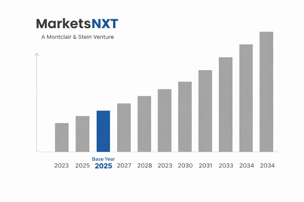
- ✓Market Size 2024: $8.2 billion
- ✓Market Size 2034: $24.7 billion
- ✓CAGR: 11.7%
- ✓Market Definition: Commercial provision of satellite-captured imagery and derived analytics for applications including agriculture, urban planning, defense, and environmental monitoring. Services encompass raw image provision, processed datasets, and value-added analytical insights.
- ✓Leading Companies: Maxar Technologies, Planet Labs, Airbus Defence and Space, BlackSky Technology, Satellogic
- ✓Base Year: 2025
- ✓Forecast Period: 2026–2034
Satellite Image Data Services at a Turning Point: Market Overview
The satellite image data service market has reached $8.2 billion in 2024, driven by unprecedented demand from commercial enterprises, government agencies, and emerging applications in climate monitoring. The market encompasses providers delivering raw satellite imagery, processed datasets, and analytical insights across temporal frequencies from real-time to historical archives. Traditional defense and intelligence applications now represent less than 40% of total market revenue, as commercial applications surge across agriculture, insurance, logistics, and environmental compliance sectors.
The current moment represents a fundamental turning point as constellation economics shift toward mass-produced small satellites, reducing imagery costs while increasing temporal resolution. The convergence of artificial intelligence processing capabilities with high-frequency revisit satellites creates unprecedented opportunities for automated change detection and predictive analytics. This technological inflection enables new business models where imagery becomes the foundation for subscription-based analytical services rather than one-time data purchases, fundamentally altering market dynamics and customer relationships.
Key Forces Shaping Satellite Image Data Services Growth
The primary growth driver is enterprise adoption for operational decision-making, particularly in agriculture where precision farming techniques require regular crop monitoring throughout growing seasons. Insurance companies increasingly integrate satellite imagery for property assessment and claims verification, reducing field inspection costs by 60-80% while improving accuracy. Government environmental monitoring mandates, especially EU deforestation regulations and carbon reporting requirements, create sustained demand for frequent, high-resolution imagery across vast geographic areas, translating directly into recurring revenue streams for service providers.
Technological advancement in automated image processing enables real-time analytics delivery, transforming satellite data from periodic reports into continuous monitoring systems. The integration of synthetic aperture radar with optical imagery provides all-weather capabilities, expanding serviceable market opportunities in regions with frequent cloud cover. Edge computing deployment on satellite constellations reduces data transmission costs while enabling near-real-time processing, making satellite services cost-competitive with traditional ground-based monitoring for logistics, infrastructure management, and emergency response applications.
Barriers and Risks in the Satellite Image Data Services Market
Regulatory restrictions pose the most significant structural barrier, as export controls and national security considerations limit data sharing and cross-border service provision. Many countries restrict high-resolution imagery access for sensitive areas, fragmenting potential market opportunities and requiring complex compliance frameworks that increase operational costs. Data standardization challenges across different satellite operators create integration difficulties for enterprise customers, slowing adoption rates as organizations struggle with incompatible formats and varying quality standards across providers.
Cyclical risks center on capital intensity requirements and technological obsolescence. New constellation deployments require substantial upfront investments with 3-5 year payback periods, creating vulnerability to market downturns or customer concentration risks. Rapid advancement in satellite technology creates obsolescence pressure, as newer constellations offer superior resolution or revisit frequencies, potentially stranding earlier investments. The current market structure favors well-capitalized players, creating barriers for innovative smaller companies while established providers face pressure to continuously upgrade orbital assets.
Emerging Opportunities in Satellite Image Data Services
Carbon credit verification represents a near-term opportunity worth $2.3 billion by 2028, as regulatory requirements demand independent monitoring of forest conservation and restoration projects. Satellite imagery provides the only scalable solution for verifying carbon offset claims across millions of hectares globally. Supply chain transparency applications emerge as multinational corporations face increasing pressure to monitor environmental and labor practices throughout their supplier networks, requiring regular satellite monitoring of production facilities and resource extraction sites.
Insurance parametric products create immediate revenue opportunities, where satellite-detected events automatically trigger coverage payments without traditional claims processes. This application requires partnerships with insurance providers and development of automated damage assessment algorithms, but early implementations show 70% cost reduction in claims processing. Urban planning and smart city initiatives represent expanding opportunities as municipal governments integrate satellite data for infrastructure planning, traffic optimization, and environmental compliance monitoring, requiring sustained multi-year service contracts.
Investment Case: Bull, Bear, and What Decides It
The bull case materializes if enterprise customers embrace satellite imagery as essential operational infrastructure, driving subscription revenue models and reducing customer acquisition costs. Regulatory clarity around data sharing combined with standardization initiatives accelerates market adoption, while AI processing capabilities enable higher-margin analytical services. Under these conditions, market leaders achieve 40-50% gross margins on analytical services while expanding total addressable markets through new application development.
The bear case emerges if regulatory fragmentation intensifies, limiting cross-border data sharing and restricting market expansion opportunities. Price competition from government-subsidized providers or commodity pricing pressure on raw imagery reduces margins to unsustainable levels. Technological disruption from alternative monitoring methods, including drone networks or IoT sensor deployment, could erode satellite imagery's competitive advantages in key applications, particularly for localized monitoring requirements.
The swing variable determining market trajectory is enterprise customer willingness to integrate satellite data into core operational processes rather than treating it as supplementary information. If organizations embed satellite imagery into automated decision-making systems for agriculture, logistics, and risk management, sustainable subscription revenue models emerge. However, if customers continue viewing satellite data as occasional analytical tools, the market remains project-based with limited scalability and margin pressure from commodity providers.
Market at a Glance
| Metric | Value |
|---|---|
| Market Size 2024 | $8.2 billion |
| Market Size 2034 | $24.7 billion |
| Growth Rate (CAGR) | 11.7% |
| Most Critical Decision Factor | Enterprise operational integration adoption rates |
| Largest Region | North America |
| Competitive Structure | Moderately consolidated with emerging challengers |
Regional Performance: Where Satellite Image Data Services Are Growing Fastest
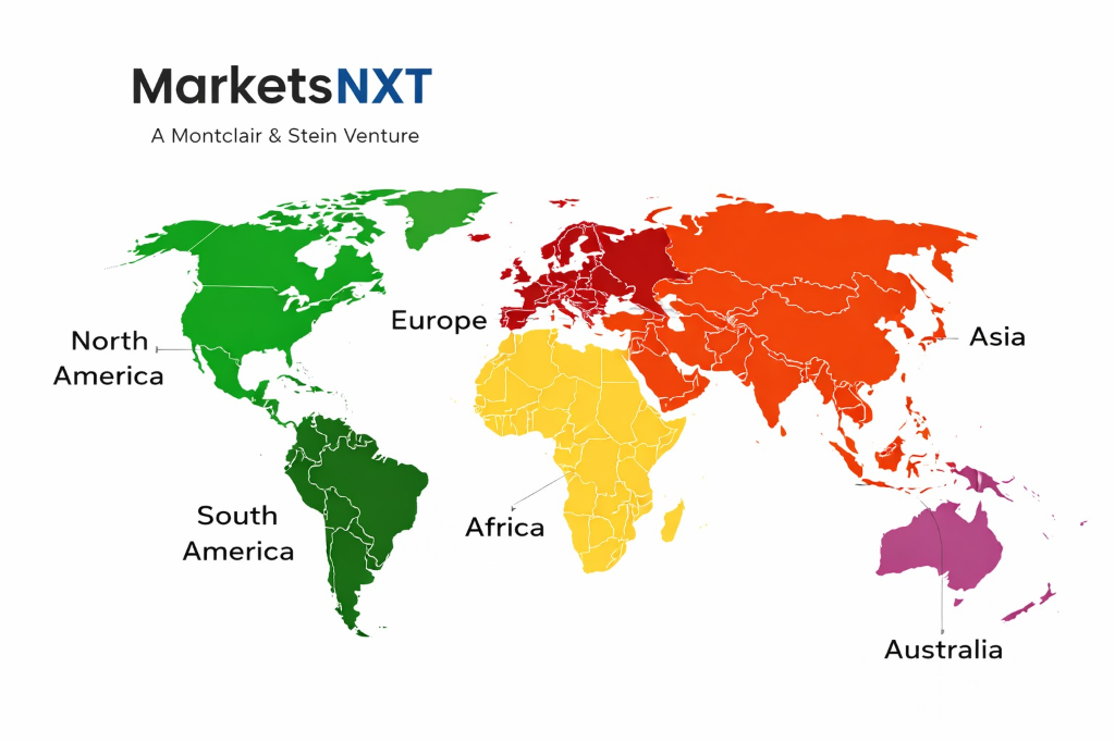
North America remains the largest revenue contributor at 42% of global market share, driven by defense spending, agricultural technology adoption, and regulatory requirements for environmental monitoring. Europe demonstrates the highest growth rate at 14.2% CAGR, fueled by EU sustainability regulations, precision agriculture initiatives, and carbon reporting mandates that require systematic satellite monitoring. Asia-Pacific shows strong expansion in urban planning and infrastructure monitoring applications, while Latin America experiences growth in agricultural and mining applications.
The Middle East and Africa present emerging opportunities in resource exploration and agricultural development, though infrastructure limitations constrain immediate market development. Growth rate differentials reflect regulatory environment maturity and enterprise technology adoption patterns rather than raw demand potential. European growth leadership stems from comprehensive regulatory frameworks requiring satellite-based monitoring for environmental compliance, creating predictable long-term revenue streams that exceed North American project-based purchasing patterns.
Leading Market Participants
- Maxar Technologies
- Planet Labs
- Airbus Defence and Space
- BlackSky Technology
- Satellogic
- Capella Space
- ICEYE
- Ursa Space Systems
- Spire Global
- Umbra Lab
Where Are Satellite Image Data Services Headed by 2034
By 2034, the satellite image data services market reaches $24.7 billion with fundamental transformation toward automated analytical services rather than raw imagery provision. Market concentration increases as scale advantages in constellation operation and AI processing create barriers for smaller players, while successful companies achieve gross margins exceeding 60% through value-added analytics. Real-time monitoring becomes standard expectation rather than premium service, driving infrastructure requirements that favor established operators with global ground station networks.
Planet Labs and Maxar Technologies are best positioned for 2034 market leadership through their combination of operational satellite constellations, established customer relationships, and analytical processing capabilities. Planet's daily global coverage enables subscription-based monitoring services, while Maxar's high-resolution capabilities serve specialized applications requiring detailed analysis. Success factors include ability to integrate multiple data sources, develop vertical-specific analytical products, and maintain technological leadership in automated image processing and change detection algorithms.
Frequently Asked Questions
Market Segmentation
- Very High Resolution
- High Resolution
- Medium Resolution
- Low Resolution
- Defense and Intelligence
- Agriculture and Forestry
- Urban Planning
- Environmental Monitoring
- Energy and Natural Resources
- Insurance and Financial Services
- Image Data Provision
- Value-Added Services
- Analytics and Insights
- Platform Services
- Government
- Commercial Enterprises
- Academic and Research
- Non-Profit Organizations
Table of Contents
Chapter 01 Methodology and Scope
1.1 Research Methodology / 1.2 Scope and Definitions / 1.3 Data Sources
Chapter 02 Executive Summary
2.1 Report Highlights / 2.2 Market Size and Forecast 2024-2034
Chapter 03 Satellite Image Data Service Market - Industry Analysis
3.1 Market Overview / 3.2 Market Dynamics / 3.3 Growth Drivers
3.4 Restraints / 3.5 Opportunities
Chapter 04 Resolution Insights
4.1 Very High Resolution / 4.2 High Resolution / 4.3 Medium Resolution / 4.4 Low Resolution
Chapter 05 Application Insights
5.1 Defense and Intelligence / 5.2 Agriculture and Forestry / 5.3 Urban Planning / 5.4 Environmental Monitoring / 5.5 Energy and Natural Resources / 5.6 Insurance and Financial Services
Chapter 06 Service Type Insights
6.1 Image Data Provision / 6.2 Value-Added Services / 6.3 Analytics and Insights / 6.4 Platform Services
Chapter 07 End User Insights
7.1 Government / 7.2 Commercial Enterprises / 7.3 Academic and Research / 7.4 Non-Profit Organizations
Chapter 08 Satellite Image Data Service Market - Regional Insights
8.1 North America / 8.2 Europe / 8.3 Asia Pacific
8.4 Latin America / 8.5 Middle East and Africa
Chapter 09 Competitive Landscape
9.1 Competitive Overview / 9.2 Market Share Analysis
9.3 Leading Market Participants
9.3.1 Maxar Technologies / 9.3.2 Planet Labs / 9.3.3 Airbus Defence and Space / 9.3.4 BlackSky Technology / 9.3.5 Satellogic / 9.3.6 Capella Space / 9.3.7 ICEYE / 9.3.8 Ursa Space Systems / 9.3.9 Spire Global / 9.3.10 Umbra Lab
9.4 Outlook
Research Framework and Methodological Approach
Information
Procurement
Information
Analysis
Market Formulation
& Validation
Overview of Our Research Process
MarketsNXT follows a structured, multi-stage research framework designed to ensure accuracy, reliability, and strategic relevance of every published study. Our methodology integrates globally accepted research standards with industry best practices in data collection, modeling, verification, and insight generation.
1. Data Acquisition Strategy
Robust data collection is the foundation of our analytical process. MarketsNXT employs a layered sourcing model.
- Company annual reports & SEC filings
- Industry association publications
- Technical journals & white papers
- Government databases (World Bank, OECD)
- Paid commercial databases
- KOL Interviews (CEOs, Marketing Heads)
- Surveys with industry participants
- Distributor & supplier discussions
- End-user feedback loops
- Questionnaires for gap analysis
Analytical Modeling and Insight Development
After collection, datasets are processed and interpreted using multiple analytical techniques to identify baseline market values, demand patterns, growth drivers, constraints, and opportunity clusters.
2. Market Estimation Techniques
MarketsNXT applies multiple estimation pathways to strengthen forecast accuracy.
Bottom-up Approach
Aggregating granular demand data from country level to derive global figures.
Top-down Approach
Breaking down the parent industry market to identify the target serviceable market.
Supply Chain Anchored Forecasting
MarketsNXT integrates value chain intelligence into its forecasting structure to ensure commercial realism and operational alignment.
Supply-Side Evaluation
Revenue and capacity estimates are developed through company financial reviews, product portfolio mapping, benchmarking of competitive positioning, and commercialization tracking.
3. Market Engineering & Validation
Market engineering involves the triangulation of data from multiple sources to minimize errors.
Extensive gathering of raw data.
Statistical regression & trend analysis.
Cross-verification with experts.
Publication of market study.
Client-Centric Research Delivery
MarketsNXT positions research delivery as a collaborative engagement rather than a static information transfer. Analysts work with clients to clarify objectives, interpret findings, and connect insights to strategic decisions.