Underground Utility Mapping Market Size, Share & Forecast 2026–2034
Report Highlights
- ✓Market Size 2024: USD 8.6 Billion
- ✓Market Size 2034: USD 18.4 Billion
- ✓CAGR: 7.9%
- ✓Market Definition: Underground utility mapping encompasses technologies and services used to detect, locate, and map subsurface infrastructure including pipelines, cables, conduits, and buried assets. It spans ground-penetrating radar, electromagnetic induction, acoustic sensing, and integrated GIS platforms.
- ✓Leading Companies: Hexagon AB, Esri, Leica Geosystems, Trimble Inc., GSSI
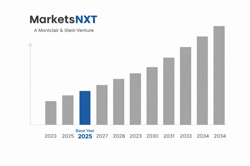
- ✓Base Year: 2025
- ✓Forecast Period: 2026–2034
Analyst Recommendation — Enter Municipal Contracts Now: Infrastructure investors and service providers should prioritize long-term municipal survey contracts in North America and the Gulf Cooperation Council before 2026, when regulatory mandates for pre-excavation mapping tighten. First-mover contract lock-in will be decisive as compliance deadlines compress procurement timelines.
Underground utility mapping at a turning point: Market Overview
The global underground utility mapping market stood at USD 8.6 billion in 2024, supported by accelerating urbanization, aging subsurface infrastructure in developed economies, and tightening pre-excavation regulatory requirements across North America, Europe, and Australia. The market has grown at a steady mid-single-digit pace over the prior five years, but the composition of demand has shifted materially — from reactive damage-avoidance surveys to proactive digital twin construction, where continuous subsurface asset records are embedded into city-wide infrastructure management platforms. This structural shift has elevated average contract values and extended recurring revenue streams for established providers.
The current moment is defined by two converging inflection points. First, governments across the G20 are embedding utility mapping mandates into infrastructure funding conditions — the U.S. Infrastructure Investment and Jobs Act, the EU's Digital Infrastructure Initiative, and the UK's Street Works legislation all create direct procurement obligations. Second, AI-assisted signal interpretation tools from companies including Exodigo and Sensit Technologies are compressing survey cycle times by 40–60%, making large-scale municipal programs economically viable for the first time. These two forces together are accelerating the market from a fragmented, project-based service into a platform-driven, subscription-oriented industry structure.
Key forces shaping underground utility mapping growth
Three specific growth forces are driving revenue expansion. First, infrastructure rehabilitation spending in North America and Europe is generating mandatory pre-construction utility surveys at scale. The U.S. alone has committed over USD 550 billion to infrastructure renewal through 2030, and federal disbursement conditions increasingly require subsurface clearance documentation before groundbreaking. This directly translates to billable survey contracts, with municipal engineering departments acting as the primary procurement node. The pipeline, telecom, and electricity distribution segments benefit most, as these asset classes carry the highest strike-risk penalty costs.
Second, the integration of GPR survey outputs into GIS and BIM environments is generating platform stickiness that converts one-time survey clients into multi-year data subscribers. Esri's ArcGIS Utility Network and Bentley Systems' OpenUtilities are the dominant integration targets, and vendors that deliver GPR data in compatible formats command 15–25% pricing premiums. Third, the rapid buildout of 5G networks globally requires dense, accurate subsurface mapping prior to micro-trench installation. In dense urban markets including Tokyo, London, and Seoul, telecoms operators are commissioning corridor surveys at volumes not seen since the fiber rollout of the early 2000s, creating a concentrated, high-margin demand segment.
Barriers and risks in the underground utility mapping market
The most significant structural risk to this market is the persistent fragmentation of subsurface data standards. Unlike above-ground infrastructure, there is no universally adopted data schema for buried asset records. In the United States, the ASCE 38-22 standard for underground utility engineering has gained traction but remains unenforced at the federal level. This means survey data collected by one provider is frequently incompatible with municipal GIS systems maintained by another vendor, creating adoption friction and depressing willingness to pay for premium data products. Until standardization is mandated, not merely recommended, the market's ability to migrate buyers toward recurring data subscriptions will remain constrained.
Cyclical risks are less dangerous but cannot be dismissed. Municipal capital budgets are acutely sensitive to interest rate environments. In a prolonged high-rate scenario, discretionary survey programs — particularly proactive digital twin projects that lack immediate regulatory compulsion — are among the first line items deferred. The European market in 2023 demonstrated this clearly, with several large municipal GPR programs in Germany and France delayed by 12–18 months as city governments absorbed higher debt service costs. The structural risk — data fragmentation — is more dangerous to the long-term investment thesis than cyclical budget pressure, because it actively delays the platform consolidation that would drive recurring revenue and margin expansion.
Emerging opportunities in underground utility mapping
The most credible near-term opportunity lies in the GCC construction corridor — Saudi Arabia, the UAE, and Qatar are collectively committing over USD 1.3 trillion to infrastructure development under Vision 2030 and associated national programs. These projects are greenfield by nature, meaning accurate as-built subsurface records must be created from scratch. This is structurally superior to retrofit mapping in mature cities, because data quality is higher, contract values are larger, and there is no legacy data reconciliation burden. The condition required for this opportunity to fully materialise is continued sovereign fund disbursement at current rates, which fiscal oil revenue projections through 2028 support.
A second emerging opportunity is the autonomous survey vehicle segment, where companies including GSSI and Exodigo are deploying vehicle-mounted GPR arrays that survey at road speed, reducing per-kilometer survey costs by up to 70% versus traditional pedestrian methods. This cost compression opens municipal markets that were previously uneconomic — mid-sized cities with 200,000–800,000 residents that lacked the budget for comprehensive utility mapping programs. The condition for this opportunity is regulatory acceptance of autonomous survey data as equivalent to Class B or Class C quality-level evidence under ASCE 38-22, a determination that three U.S. state DOTs are actively evaluating as of 2025.
Investment case: Bull, bear, and what decides it
The bull case rests on three simultaneous catalysts: regulatory mandates converting discretionary spend into compliance spend, AI-driven cost reduction opening new municipal market tiers, and GCC and Asian infrastructure buildout generating high-value greenfield survey contracts. If U.S. federal pre-excavation rules are upgraded to enforceable standards by 2027, and if GCC disbursement sustains current velocity, the market reaches USD 18.4 billion by 2034 with margin expansion as platform-based recurring revenue displaces lower-margin one-time survey work. The companies positioned to capture disproportionate upside are those with both field survey capability and proprietary data management platforms — specifically Hexagon AB and Trimble Inc.
The bear case materialises if data standardization stalls, keeping the market project-fragmented and price-competitive, while a fiscal slowdown in North America and Europe defers discretionary municipal programs. If autonomous survey vehicles fail to receive regulatory equivalency recognition, the cost compression thesis fails and smaller municipalities remain outside the addressable market. Additionally, if GCC project timelines slip — as they have historically on several NEOM subcomponents — the greenfield opportunity becomes backloaded beyond 2030, reducing near-term revenue visibility for internationally exposed survey firms.
The swing variable is U.S. federal regulatory action on pre-excavation mapping standards. The PIPES Act and Common Ground Alliance have both proposed mandatory ASCE 38-22 compliance for federally funded excavations. If this passes into enforceable rule by 2027, it converts an estimated USD 2.1 billion of latent U.S. demand into contracted spend within 24 months. No other single factor — not GCC spending, not AI cost reduction, not 5G rollout — produces a demand step-change of equivalent magnitude. The bull case is stronger, and this regulatory trigger is why.
Market at a Glance
| Indicator | Detail |
|---|---|
| Market Size 2024 | USD 8.6 Billion |
| Market Size 2034 | USD 18.4 Billion |
| Growth Rate (CAGR) | 7.9% |
| Most Critical Decision Factor | Regulatory mandates for pre-excavation subsurface clearance compliance |
| Largest Region | North America |
| Competitive Structure | Fragmented with emerging platform consolidation among top-tier vendors |
Regional performance: Where underground utility mapping is growing fastest
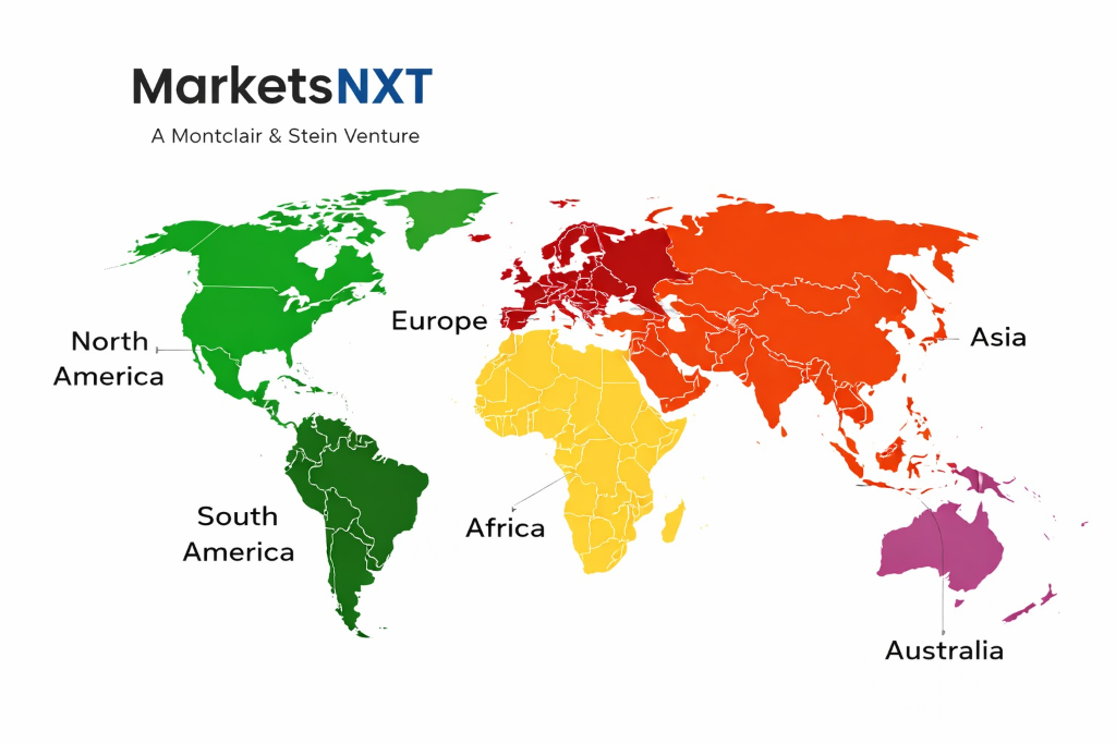
North America remains the largest revenue contributor, accounting for an estimated 36% of global market revenue in 2024. This dominance reflects a mature regulatory environment, high excavation activity density, and the presence of the largest concentration of full-service mapping firms globally. The U.S. damage prevention regulatory framework — including state-level 811 call-before-you-dig mandates — sustains baseline survey demand even in budget-constrained years. Canada's municipal infrastructure renewal programs in Ontario and British Columbia are adding incremental volume. Europe is the second-largest region, with the UK, Germany, and the Netherlands leading due to dense buried asset networks and strict street works compliance requirements.
Asia Pacific carries the highest growth rate of any region, driven by India's urban infrastructure expansion, China's continued metro and utility corridor construction, and Australia's mandated utility mapping programs under the Dial Before You Dig framework. India specifically is the fastest-growing individual country market, with GPR survey demand projected to grow at over 12% annually through 2030 as Smart Cities Mission funding is deployed. The Middle East is the highest-value emerging region, with Saudi Arabia's NEOM and broader giga-project pipeline generating survey contracts of unprecedented single-project scale. Latin America and Sub-Saharan Africa remain nascent but are developing regulatory frameworks that will support addressable market formation by 2028.
Leading Market Participants
- Hexagon AB
- Trimble Inc.
- Esri
- Leica Geosystems
- GSSI (Geophysical Survey Systems Inc.)
- Bentley Systems
- Exodigo
- Radiodetection Ltd.
- Vivax-Metrotech
- Sensors and Software Inc.
Where is underground utility mapping headed by 2034
By 2034, the underground utility mapping market will be structured around three dominant platform ecosystems — geospatial data management, BIM-integrated subsurface records, and AI-assisted real-time detection — rather than the current fragmented array of survey service providers. Market concentration will increase materially, with the top five vendors likely controlling 45–50% of global revenue, up from an estimated 28% today. The dominant technology will be multi-sensor fusion: vehicle-mounted arrays combining GPR, electromagnetic induction, and ground-truth acoustic sensors processed through cloud-based AI interpretation engines delivering continuous-accuracy subsurface maps at city scale.
The participants best positioned for 2034 are those investing now in proprietary data platforms and AI interpretation capability, not just hardware manufacturing. Hexagon AB's acquisition strategy — including its PAS (Positioning and Automation Systems) build-out — and Trimble's integration of survey data into its Trimble Construction One platform place both companies ahead of pure-play hardware vendors. Exodigo, if it successfully scales its AI-native survey platform beyond its current North American and Israeli pilot markets, represents the most credible disruptive threat to incumbents. The 2034 market will reward data asset ownership over equipment sales, and the companies making that transition decisively in 2025–2027 will define the competitive landscape at the forecast horizon.
Frequently Asked Questions
Market Segmentation
- Ground-Penetrating Radar (GPR)
- Electromagnetic Induction
- Acoustic and Seismic Methods
- LiDAR and Remote Sensing
- GIS and Digital Twin Platforms
- Multi-Sensor Fusion Systems
- Utility Survey and Detection
- Mapping and Documentation
- Data Management and Analytics
- Consulting and Engineering Services
- Training and Certification
- Oil and Gas
- Telecommunications
- Water and Wastewater
- Electricity and Power Distribution
- Transportation Infrastructure
- Municipal and Government
- North America
- Europe
- Asia Pacific
- Middle East and Africa
- Latin America
Table of Contents
Research Framework and Methodological Approach
Information
Procurement
Information
Analysis
Market Formulation
& Validation
Overview of Our Research Process
MarketsNXT follows a structured, multi-stage research framework designed to ensure accuracy, reliability, and strategic relevance of every published study. Our methodology integrates globally accepted research standards with industry best practices in data collection, modeling, verification, and insight generation.
1. Data Acquisition Strategy
Robust data collection is the foundation of our analytical process. MarketsNXT employs a layered sourcing model.
- Company annual reports & SEC filings
- Industry association publications
- Technical journals & white papers
- Government databases (World Bank, OECD)
- Paid commercial databases
- KOL Interviews (CEOs, Marketing Heads)
- Surveys with industry participants
- Distributor & supplier discussions
- End-user feedback loops
- Questionnaires for gap analysis
Analytical Modeling and Insight Development
After collection, datasets are processed and interpreted using multiple analytical techniques to identify baseline market values, demand patterns, growth drivers, constraints, and opportunity clusters.
2. Market Estimation Techniques
MarketsNXT applies multiple estimation pathways to strengthen forecast accuracy.
Bottom-up Approach
Aggregating granular demand data from country level to derive global figures.
Top-down Approach
Breaking down the parent industry market to identify the target serviceable market.
Supply Chain Anchored Forecasting
MarketsNXT integrates value chain intelligence into its forecasting structure to ensure commercial realism and operational alignment.
Supply-Side Evaluation
Revenue and capacity estimates are developed through company financial reviews, product portfolio mapping, benchmarking of competitive positioning, and commercialization tracking.
3. Market Engineering & Validation
Market engineering involves the triangulation of data from multiple sources to minimize errors.
Extensive gathering of raw data.
Statistical regression & trend analysis.
Cross-verification with experts.
Publication of market study.
Client-Centric Research Delivery
MarketsNXT positions research delivery as a collaborative engagement rather than a static information transfer. Analysts work with clients to clarify objectives, interpret findings, and connect insights to strategic decisions.